Ryukyu Islands
Overview
Formation of Coral Reefs in the Ryukyu Islands
The Ryukyu Archipelago is a chain of islands extending in an arc along the subduction zone where the Philippine Plate descends beneath the Eurasian Plate. It lies in the western Pacific Ocean, along the eastern edge of the Eurasian continental shelf, approximately 600–900 km offshore from the Asian continent, stretching between southern Kyushu and northern Taiwan. The Ryukyu Islands are broadly divided into the Yaeyama Islands, Miyako Islands, Okinawa Islands, Amami Islands, Tokara Islands, and Osumi Islands. The southern portion of the Ryukyu Archipelago is known as the Ryukyu Islands, and includes Okinawa Island, the largest island in the chain, as well as Iriomote Island, Ishigaki Island, Miyako Island, and many others. Because these islands are situated along two plate boundaries, they have experienced repeated uplift and subsidence, as well as long-term fluctuations in relative sea level associated with glacial and interglacial cycles.
Reef-building corals live in symbiosis with photosynthetic dinoflagellates known as zooxanthellae; therefore, they depend on sunlight for growth. As a result, coral reef development is strongly influenced by solar radiation and has been shaped by both the original seafloor topography and long-term changes in sea level. The most common type of coral reef in the Ryukyu Islands is the fringing reef, which develops along the shorelines of islands. Fringing reefs can be divided into several geomorphological zones, including the reef crest, where incoming waves break; the reef flat and lagoonal areas, typically a few to several meters deep; and the reef slope, which descends from the reef crest to depths of several tens of meters. Numerous isolated reefs, including patch reefs and table reefs, are also found throughout the Ryukyu Islands.
To the west of the Ryukyu Islands flows the Kuroshio Current, a warm ocean current that moves northward from the Philippines and Taiwan toward Kyushu and mainland Japan. This current enables many tropical marine organisms to extend their distributions to relatively high latitudes. The Kuroshio also connects the Ryukyu Islands with the Coral Triangle—the global center of marine biodiversity, encompassing the Philippines, Indonesia, and Papua New Guinea—a region considered the primary distribution center for reef-building corals and many other tropical marine organisms. Furthermore, eddies generated by the Kuroshio contribute to ecological connectivity among the Ryukyu Islands, Taiwan, Kyushu, and mainland Japan, as well as among the individual islands themselves. Consequently, ecological networks among islands and marine regions in the western Pacific have attracted considerable scientific attention. Owing to these geological conditions, as well as local environmental factors such as rivers, tidal flats, bays, and urbanized areas, coral communities on each island of the Archipelago differ from one another. Although numerous islands occur throughout the region, only a fraction of their coral diversity and distributions has been documented to date. In addition to traditional records obtained through photography and specimen collection, environmental DNA surveys are expected to greatly enhance our understanding of coral distribution patterns throughout the Ryukyus.
As noted above, the Ryukyu Islands form part of the Nansei Islands of southwestern Japan and encompass all islands of Okinawa Prefecture, except the Daito Islands (therefore, Minami-Daito Island and Kita-Daito Island are not included in this atlas). The Archipelago consists of numerous islands, including Okinawa (Okinawa Main Island), Yonaguni, Hateruma, Iriomote, Ishigaki, Tarama, Irabu, Miyako, Kume, Tonaki, Aguni, the Keramas, Izena, and Iheya. Beautiful coral reefs occur in the shallow coastal waters surrounding these subtropical islands. Although coral reefs cover only about 0.2% of the Earth's ocean surface, they are estimated to provide habitat for approximately 30% of all marine species, making them some of the most biologically diverse ecosystems in the ocean. Coral reefs provide numerous benefits to human society, including support for fisheries and tourism. However, the future of coral reefs is increasingly threatened by environmental degradation, particularly coral bleaching caused by rising sea temperatures and predation by crown-of-thorns starfish. Consequently, efforts to conserve and maintain healthy coral reefs are being intensified around the world.
The corals responsible for reef formation are primarily zooxanthellate scleractinian corals belonging to the subclass Hexacorallia in the class Anthozoa of the phylum Cnidaria. Approximately 83 genera and 400 species have been recorded in Japan. In addition, blue corals belonging to the subclass Octocorallia and hydrocorals belonging to the class Hydrozoa also contribute to reef formation. Traditionally, coral research has relied mainly on direct underwater observations conducted by coral researchers using scuba diving. However, underwater surveys have several limitations. To complement these conventional methods and provide a broader and more taxonomically accurate approach, we developed and established an environmental DNA metabarcoding (eDNA-M) method for corals, as described previously. This approach is revealing the actual distribution and composition of zooxanthellate scleractinian corals across many coral reefs of the Ryukyu Islands.
We believe that such data should be made publicly available so that anyone can freely access and utilize them. In light of the current state of coral reef research, this atlas openly provides coral environmental DNA data from across the Ryukyu Islands. Environmental DNA datasets have already been collected from the 12 islands listed above, excluding Yonaguni Island and Hateruma Island, and additional datasets will be released in the future. As the first release, we present the Ryukyu Islands Coral Environmental DNA Atlas, including Okinawa Island. This website provides data obtained through both coral reef ecological surveys and eDNA metabarcoding surveys. Please use the links below to access and explore the available datasets.
Total Number of Sites in This Survey: 231
|
Okinawa Main Islands
Total Sites: 63
Latitude: 26.44564917
Longitude: 127.8950242
|
Situated at the northeastern end of the Ryukyu Archipelago, Okinawa is the largest island. Although it is long and narrow, extending approximately 100 km from north to south and 4–28 km from east to west, its irregular shape and topography are highly distinctive. The southern part consists mainly of relatively flat uplifted coral reef terraces, whereas the northern part is characterized by mountainous terrain, underlain by older geological formations and covered by the subtropical forests of Yanbaru.
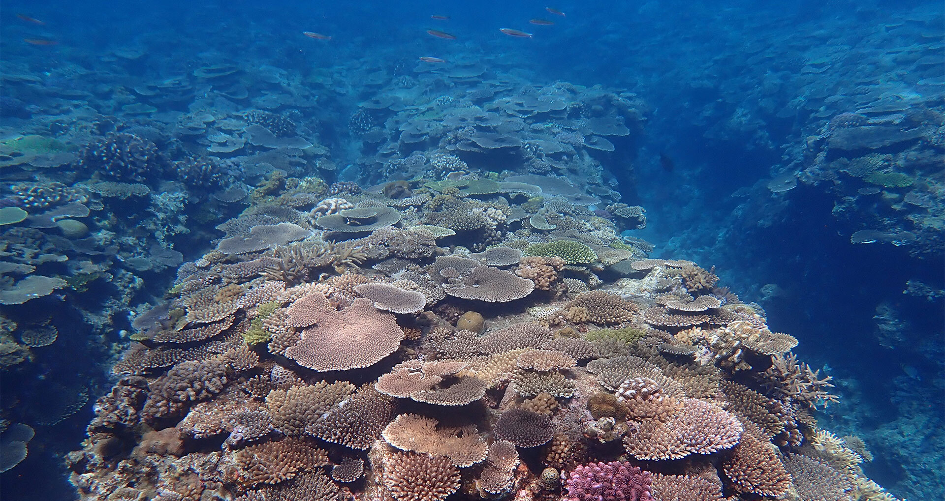
Coral reefs encircle the entire island. In particular, along the coast of Onna Village on the west coast, relatively calm oceanographic conditions have allowed extensive and spectacular growth of tabular and branching corals of the genus Acropora, making the area one of Okinawa’s premier destinations for coral reef tourism and observation. In addition, several surrounding islands, including Ie, Sesoko, Tsuken, and Kudaka Islands, contribute to the formation of complex coral reef ecosystems in the waters around Okinawa Island.
Since 2004, the Okinawa Environmental Science Center (OESC) has conducted coral reef monitoring surveys at 63 sites from the southern to the northern end of Okinawa Island, as part of the Ministry of the Environment Monitoring Sites 1000 Coral Reef Survey Project. These surveys have been carried out almost annually to document the distribution and condition of coral communities (see the Photo Collection section for more information about OESC). Building upon this long-term monitoring effort, OIST initiated coral environmental DNA metabarcoding (eDNA-M) surveys in 2021. Data presented here are based primarily on seawater samples collected during 2021 and 2022.
From the coast of Onna Village to the northern shores of Okinawa Island, a severe coral bleaching event occurred during the summer and autumn of 2024, mainly as a result of elevated sea surface temperatures. This event led to a large-scale decline of Acropora corals. Data presented here were collected before this bleaching event and therefore represent the condition of healthy coral reef communities prior to the disturbance. As such, they provide valuable baseline information for evaluating and understanding future reef recovery.
|
|
the Iheya - Izena Islands
Total Sites: 20
Latitude: 26.980687
Longitude: 127.9527935
|
The Iheya - Izena Islands are located north of the Motobu Peninsula of Okinawa Island, comprising five main islands: Iheya, Noho, Gushikawa, Izena, and Yanaha Islands. Iheya Island lies approximately 41 km north of the Motobu Peninsula and is a long, narrow island extending in a north–south direction. It has an area of approximately 20.6 km² and a coastline of 34.2 km. Yoron Island of Kagoshima Prefecture is located about 37 km to the east. Iheya Island is characterized by relatively high mountains, steep coastlines, and well-developed coral reefs. Izena Island, located south of Iheya Island, is comparatively flat, with an area of approximately 14.1 km² and a coastline of about 16.7 km.
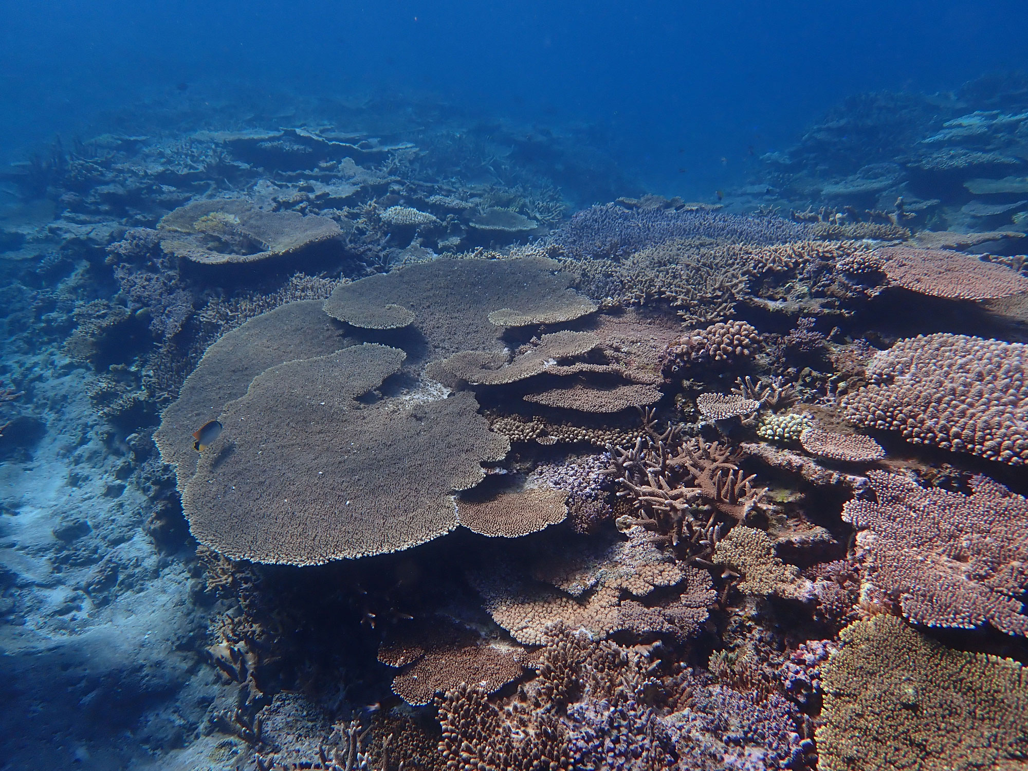
The composition of coral genera inhabiting coral reefs changes through repeated cycles of disturbance and recovery. Disturbances such as typhoons and elevated sea temperatures can severely damage coral reefs, after which they gradually regenerate. In recent decades, impacts of global warming on coral reefs have become increasingly significant. Large-scale coral bleaching events caused by unusually high summer sea temperatures have occurred worldwide on four occasions between 1997 and 2026. Although coral reefs around the world have generally experienced degradation, characterized by declines in coral abundance, some regions have shown exceptional recovery. The region from northern Okinawa Island to the Izena–Iheya Islands is one of the regions where coral reefs had recovered particularly well. To investigate which coral genera inhabit these well-recovered reefs, we conducted both environmental DNA surveys and visual underwater surveys, primarily on Iheya Island on January 13, 2024, and on Izena Island on January 14, 2024. As shown herein, 20 survey sites were examined.
|
|
Kerama
Total Sites: 19
Latitude: 26.20595474
Longitude: 127.2903632
|
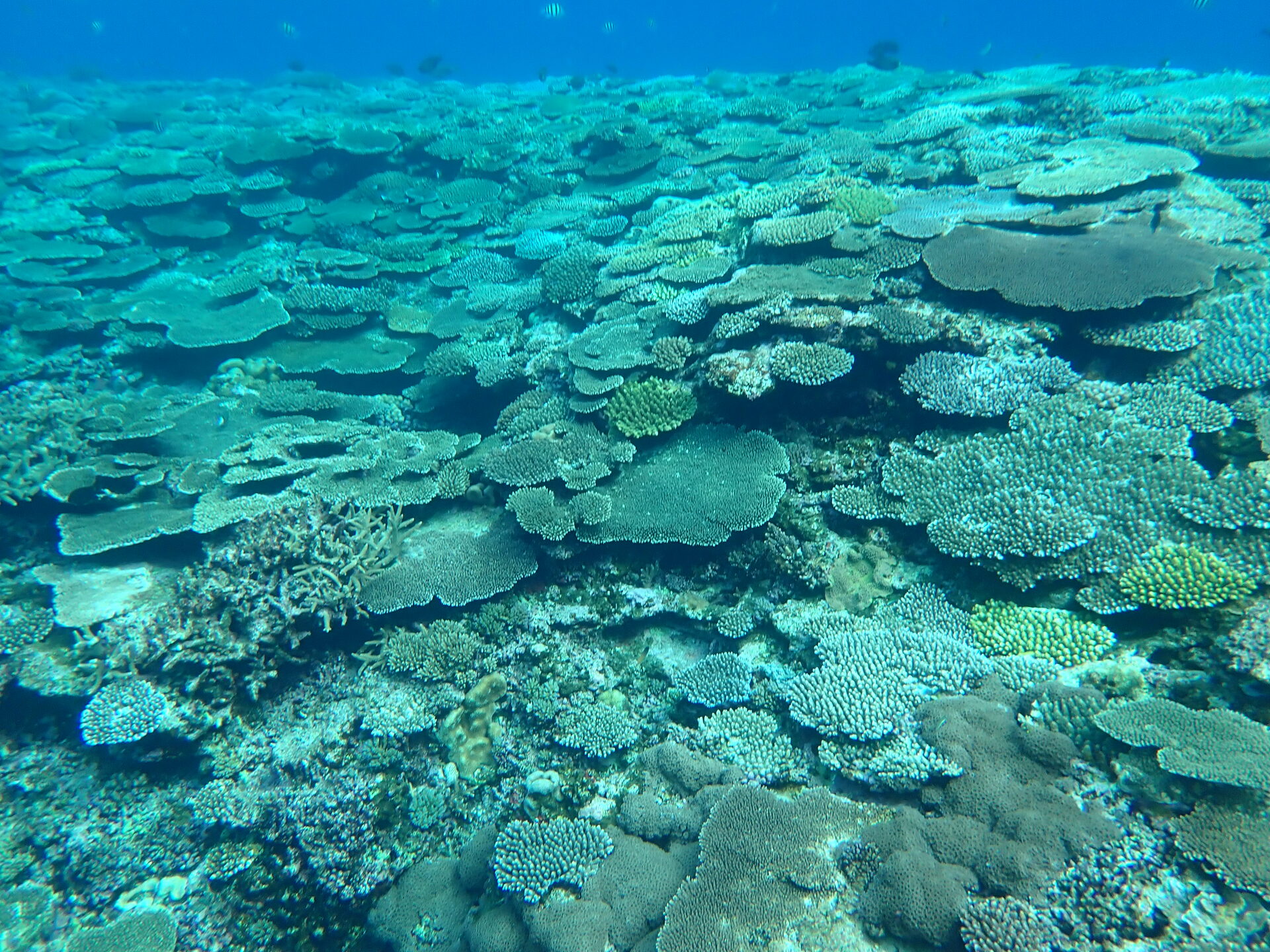
The Kerama Islands are located west of Okinawa Island, approximately 30 km from Naha Airport. In addition to relatively large islands such as Tokashiki, Zamami, and Aka Islands, numerous small uninhabited islands are scattered throughout the area, creating a complex geographic setting. Coral reefs of the Kerama Islands suffered severe damage from the mass coral bleaching event of 1998 and the outbreak of crown-of-thorns starfish around 2000. Since then, however, the reefs have gradually recovered, and in 2014 the Kerama Islands were designated as a national park.
To better understand characteristics of coral reefs at Okinawa Island and the Keramas, in 2023 we conducted a coral reef survey using environmental DNA (eDNA). Among the survey sites, Ago-no-Ura represents the most enclosed bay-like environment. In contrast, waters surrounded by Tokashiki, Zamami, and Aka Islands are characterized by strong circulation and differ from typical enclosed bays, while still being sheltered from direct exposure to the open ocean and remaining relatively shallow. The survey sites located northwest of Zamami and Aka Islands, on the other hand, are more strongly influenced by open-ocean conditions.
|
|
Aguni Island
Total Sites: 5
Latitude: 26.585545
Longitude: 127.2359528
|
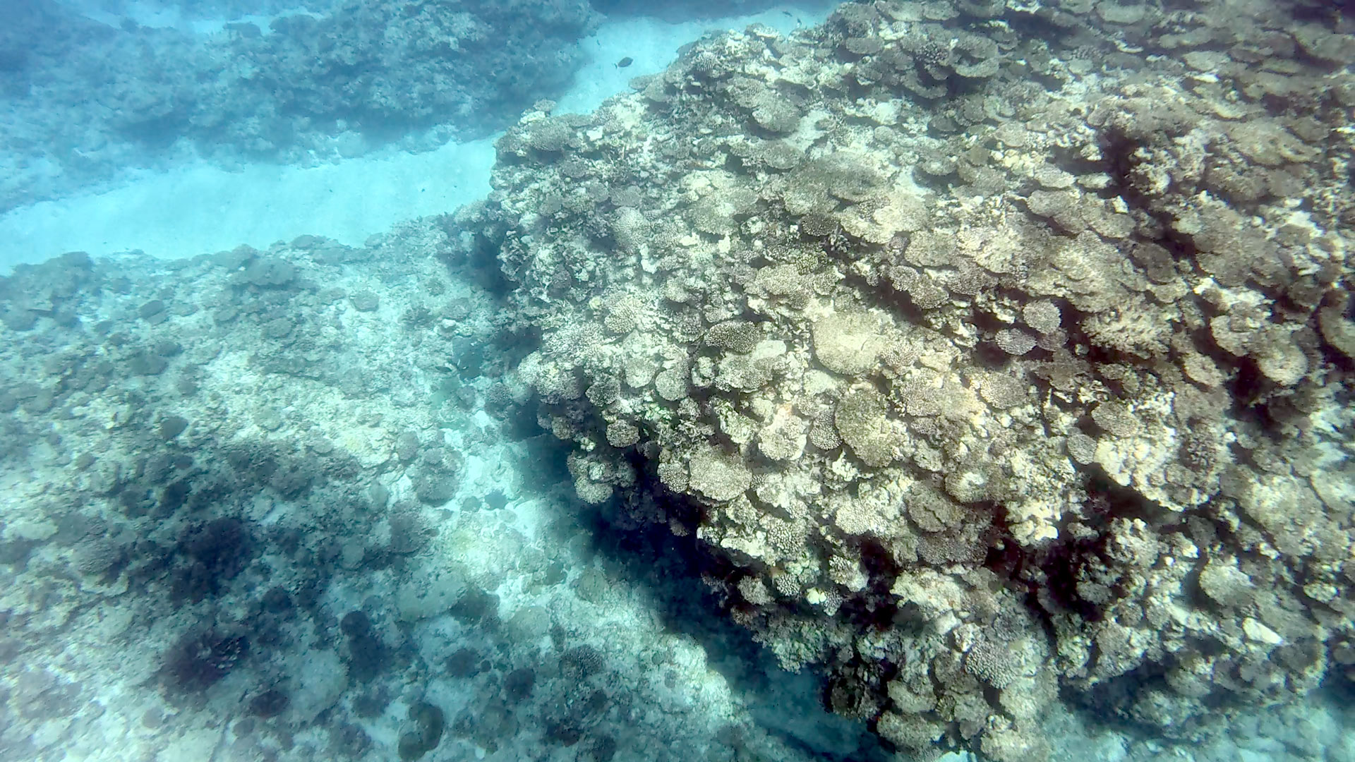
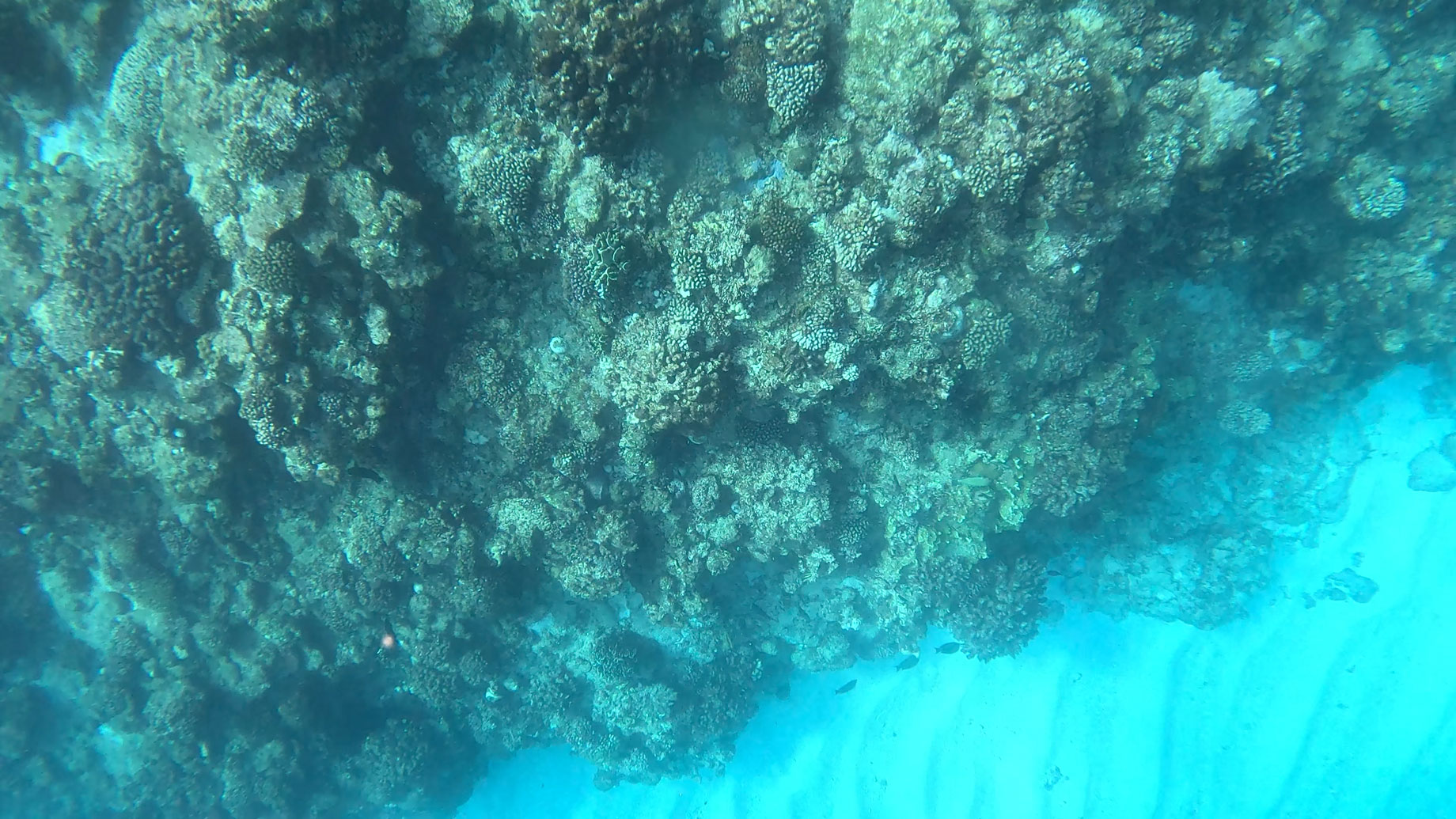
Aguni Island is located approximately 75 km west of Okinawa Island and is a relatively small island with an area of about 7.6 km² and a coastline of 12.8 km. It lies roughly midway between Okinawa Island and Kume Island. On nearby Tonaki Island, located just to the south of Aguni, coral reef communities differ markedly from those of the Kerama Islands to the east and Kume Island to the west (see the section on Tonaki Island). Does Aguni Island exhibit a similar pattern? To address this question, a survey was conducted on August 18, 2025. Sampling was carried out at five. Sites 1–3 were located along the eastern coast of the island, Site 4 was within the nothern reef slope, and Site 5 was at the southwestern tip of the island.
|
|
Tonaki Island
Total Sites: 5
Latitude: 26.3690172
Longitude: 127.1426178
|
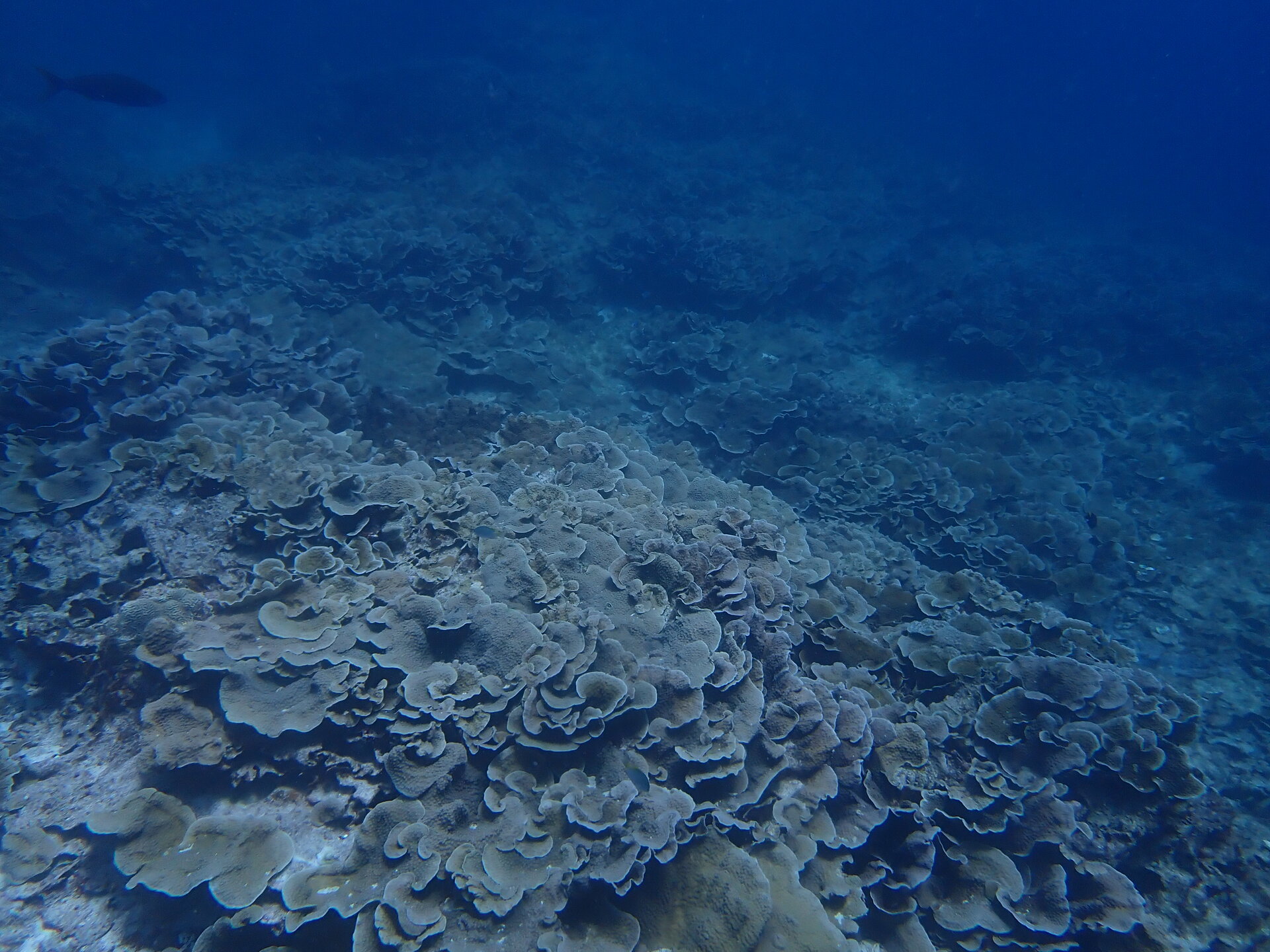
Tonaki Island is located northwest of the Kerama Islands and east of Kume Island, lying approximately midway between the two island groups. It is a small island with an area of about 3.5 km² and a coastline of 12.5 km. Considerable differences have been observed between coral reef communities on the western side of Kerama Islands and those on the eastern side of Kume Island, including the Hatenohama sandbar. Using eDNA, the primary objective of this study was to understand the composition of coral communities on Tonaki Island, which is situated between these two regions. The survey was conducted on August 15, 2025. Five sampling sites were established. Sites 1 and 5 were located on the western side of the island, Site 2 on the northern side, Site 3 on the eastern side, and Site 4 on the southern side.
|
|
Kume Island
Total Sites: 13
Latitude: 26.34344215
Longitude: 126.8195932
|
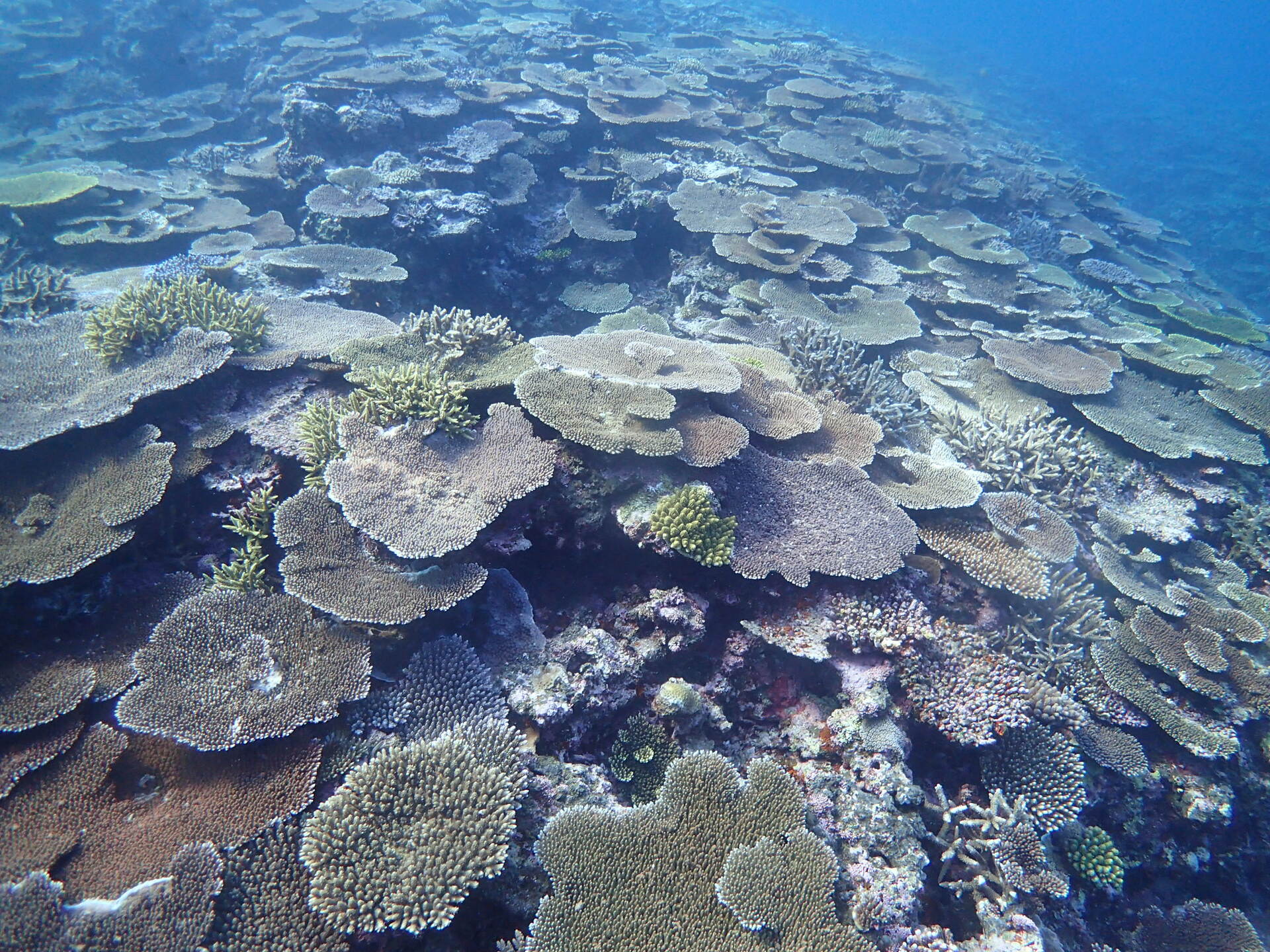
Kume Island is located approximately 100 km west of Okinawa Island in the East China Sea. It has a coastline of about 53 km and an area of 59 km² and is the fifth-largest island in the Ryukyu Archipelago. It is one of the most fascinating islands in the Ryukyu Archipelago for exploring the relationship between biogeographic and geologic characteristics of survey sites and the coral genera that compose their reefs.
Please take a look at an aerial photograph of Kume Island. After departing from Naha Airport, aircraft soon pass over the Kerama Islands, and before long Kume Island appears. The western part of the island itself has a diamond-like shape and rises to an average elevation of about 310 m. The island's coastline drops steeply into the deep sea. On the northwestern coast is the Okinawa Prefectural Deep Sea Water Research Center, where deep seawater pumped up from a depth of 612 m is studied and utilized for purposes such as kuruma prawn aquaculture. Near Nishimezaki, where the airport is located, a branch of the Kuroshio Current arriving from the west divides into northern and southern flows before continuing eastward. Compared with the inhabited southern coast, the sparsely populated northern coast is characterized by cliffs exceeding 300 m, where several beautiful waterfalls can be seen.
The geographic appeal of this island lies in the fact that, on the eastern side of this uplifted rocky island, a coral sand cay known as Hatenohama extends for more than 5 km. The beauty of the Hatenohama sandbar attracts many visitors. The northern side of Hatenohama, like the island itself, is steep and exposed to strong currents, whereas the southern side consists of intricate sandy shallows with gentler water movement. Further south, Ojima Bay forms a calm coral reef environment. Are the coral genera that compose the reefs around the rocky island, the reefs of Hatenohama, the northern and southern sides of Hatenohama, and the reefs within Ojima Bay the same? Or do they differ from one another?
Hoping that eDNA would provide answers to these questions, the Kume Island eDNA-M survey was conducted on June 10, 2024. Meanwhile, visual surveys under the Monitoring Site 1000 Program were carried out on August 24–25, 2003 (for Kume Island, the two surveys were not conducted simultaneously). However, no major climatic events capable of dramatically altering the coral reef ecosystem occurred during the intervening period, and we therefore consider the two datasets to be directly comparable. Although the present study focused on shallow coral reefs ≤15 m, we have also surveyed coral communities at ten sites around Kume Island at depths of ≤ 80 m using underwater drones. Results of these mesophotic reef surveys will be presented in the near future in the “Coral eDNA Atlas: Mesophotic Reefs.”
|
|
Miyako and Irabu island
Total Sites: 9
Latitude: 24.81555444
Longitude: 125.2211644
|
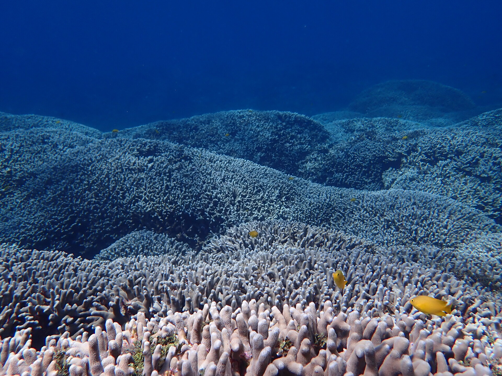
Irabu Island is located approximately 5 km west of Miyako Island. Although it is difficult to discern from aerial photographs, Shimoji Island lies immediately to the west of Irabu Island, separated only by a narrow channel. Coral reefs of the Miyako Island region suffered particularly severe damage during the mass coral bleaching event of 2016, compared with reefs around Okinawa Island and other relatively high-latitude regions of Japan. By 2023, recovery from the 2016 bleaching event had progressed considerably.
|
|
Miyako Island and Yabiji
Total Sites: 37
Latitude: 24.96054314
Longitude: 125.2768356
|
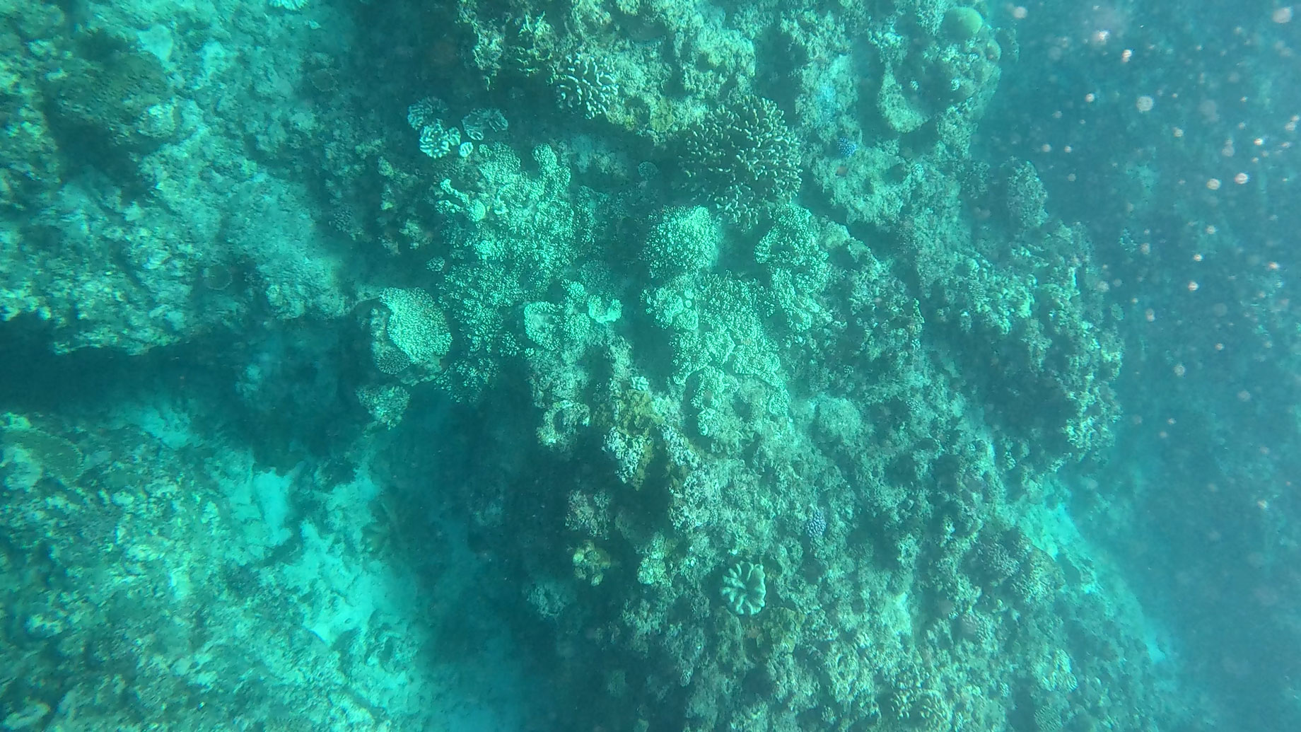
Yabiji Reef is an extensive coral reef complex scattered across an area approximately 5 km east–west and 20 km north–south, located north of Miyako Island. It is well known that four global mass coral bleaching events caused by unusually high summer seawater temperatures had occurred by 2025. Compared with coral reefs around Okinawa Island and other relatively high-latitude regions of Japan, the coral reefs of the Miyako Island region suffered particularly severe damage during the 2016 mass bleaching event. By 2023, when we conducted our environmental DNA (eDNA) survey, the reefs had recovered substantially from this disturbance, providing an opportunity to examine the composition of coral communities during the recovery phase.
|
|
Tarama Island
Total Sites: 18
Latitude: 24.68559767
Longitude: 124.6986333
|
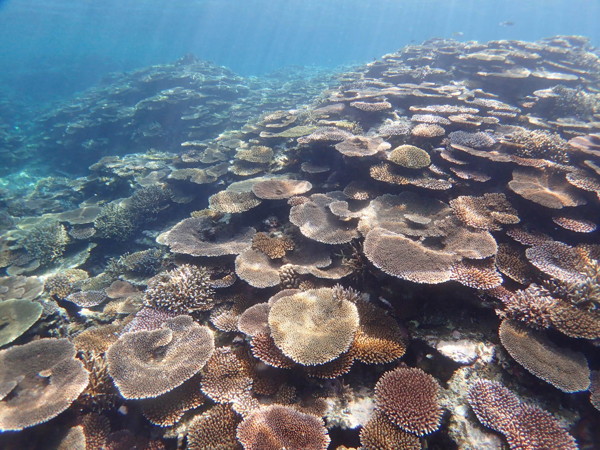
Tarama Island is located approximately 67 km west of Miyako Island and about 35 km east of Ishigaki Island. The island has an elliptical shape, measuring approximately 6 km from east to west and 4.3 km from north to south. Minna Island is also located about 8 km to the north of Tarama Island. Tarama Island is a raised coral reef island, with a generally flat landscape and sandy beaches surrounding the island. The seawater is highly transparent, and rich coral communities cover rocky outcrops scattered across the sandy seabed. Miyako Island and Ishigaki Island are separated by a distance of approximately 100 km. We expected that Tarama Island could provide clues about the characteristics of coral reefs between these two islands. Therefore, on October 16 and 17, 2025, we collected surface seawater samples from 13 sites on Tarama Island and 5 sites on Minna Island, and analyzed the coral eDNA in these samples. (We did not obtain photographs during surveys on Tarama Island; therefore, only eDNA data are displayed.)
|
|
Ishigaki Island
Total Sites: 42
Latitude: 24.46475626
Longitude: 124.2093227
|
Ishigaki Island is the third largest island in the Ryukyu Archipelago, after Okinawa Island and Iriomote Island, with an area of approximately 222 km². Ishigaki is roughly pentagonal in shape, with the elongated Nosoko Peninsula and Hirakubo Peninsula extending toward the northeast. Coral reefs are well developed around the entire island, particularly in waters surrounded by Ishigaki Island and Iriomote Island to the west, known as Sekisei Lagoon (with islands such as Taketomi Island and Kohama Island scattered throughout). Highly diverse coral reefs extend across the shallow waters of Sekisei Lagoon. The Shiraho Coral Reef on the southeastern side of Ishigaki is also famous as a habitat for more than 120 coral species, including large colonies of blue coral.
This survey was conducted over four days, from September 25 to 28, 2025, to investigate coral reefs along the entire coastline of Ishigaki Island. Sekisei Lagoon is not included as a target area of this atlas because local coral reef conservation organizations publish annual reports on the lagoon (for example, the Sekisei Lagoon Portal Website).
We conducted eDNA surveys to understand the coral reefs surrounding the entire island and to determine whether differences exist in the coral genera that constitute the reefs in relation to biogeographical factors.
|