Coral Photo Gallery
Overview
Here we present a collection of coral reef landscape photographs accumulated since approximately 2001 by researchers including Satoshi Nagata, Eiji Yamakawa, and Megumi Kanai of the Okinawa Environment Science Center (OESC), as well as Minoru Yoshida and Nobuo Motomiya of Kaiyu Co., Ltd. The collection comprises photographs from a total of 213 coral reef sites: 116 sites around Okinawa Island and its surrounding islands, 20 sites around Iheya and Izena Islands, and 77 sites around Ishigaki Island. These photographs were taken fixed-point monitoring, carried out as part of the Ministry of the Environment's Monitoring Sites 1000 Project, which began in 2003 under Japan’s National Biodiversity Strategy. The project seeks to monitor representative ecosystems throughout Japan over the long term and in a quantitative manner, to detect changes in species abundance and community composition, and to contribute to appropriate nature conservation policies. In addition to coral reefs, the project monitors alpine zones, forests and grasslands, rural landscapes, inland waters, sandy beaches, coastal areas, and small islands, with more than 1,000 monitoring sites established nationwide. Although all of these photographs can be found in Coral Reefs of Japan (2004), published by the Japan Wildlife Research Center, this photo archive arranges photographs from the same locations by survey year, tracing changes from 2024 back to 2001. By clicking on a survey site and year, visitors can browse all photographs available for that location and time period. Please read the User Guide and Terms of Use before accessing the archive. This collection contains valuable visual records of events such as coral bleaching and outbreaks of crown-of-thorns starfish.
Related Publication
- Coral Reefs of Japan (2004). Edited by the Ministry of the Environment, Japan, and the Japanese Coral Reef Society. Published by the Japan Wildlife Research Center.
Major Events Affecting the Coral Reefs of the Ryukyu Islands During the Past Approximately 25 Years
Coral Bleaching Caused by Elevated Seawater Temperature
Corals expel (or digest) symbiotic algae living within their tissues when exposed to various environmental stresses. When these symbiotic algae are lost, the coral's transparent tissues reveal the underlying white skeleton, causing the entire colony to appear white. This condition is known as “coral bleaching.” If bleaching persists for an extended period, corals become weakened and die. A “mass bleaching event” refers to a situation in which most corals within a given region become bleached, causing entire reefs to appear white.
During the summer of 1998, unusually high sea temperatures throughout Okinawa Prefecture caused widespread bleaching around entire islands, resulting in what is now known as the “1998 mass bleaching event.” Subsequently, large-scale bleaching events occurred in 2016–2017, 2022, and 2024–2025, affecting multiple islands and causing catastrophic damage to coral communities, particularly in waters only a few meters deep. Bleaching events occur when exceptionally high summer sea temperatures persist over broad geographic areas for prolonged periods. Consequently, the long-term rise in global ocean temperatures is associated with higher summer temperatures and longer periods of thermal stress, contributing to increasingly frequent bleaching events that have caused severe damage to coral reefs worldwide, including those in Okinawa. Nevertheless, relatively healthy coral communities still remain around Iheya Island, Izena Island, and parts of Okinawa, Kerama, Miyako, and Yaeyama. These surviving coral populations are expected to contribute significantly to the future recovery of coral communities throughout the region.
Coral Predation by Outbreaks of Crown-of-Thorns Starfish
The crown-of-thorns starfish (Acanthaster spp.), a coral predator, has had devastating impacts on coral communities in Okinawa through periodic population outbreaks. Major outbreaks were recorded around Okinawa Island (including Iheya and Izena Islands) from the late 1990s through the 2000s, around the Kerama Islands and Kume Island during the early 2000s, and throughout the Yaeyama Islands during the late 2000s. These outbreaks consumed extensive coral communities and created conditions often described as catastrophic throughout Okinawa Prefecture. Since the late 2010s, however, no major outbreaks have been recorded in Okinawan waters, and coral communities are expected to continue recovering. To maintain this favorable situation, efforts to identify the causes of outbreaks and establish monitoring systems for outbreak prediction continue throughout the region.
Human Impacts such as Red Soil Runoff
One of the most significant human-induced threats to coral reefs is the soil erosion into coastal waters, particularly during periods of heavy rainfall. Soil erosion not only increases water turbidity, but soil accumulates on the seafloor, inhibiting the survival and growth of marine organisms and preventing settlement of coral larvae and algal spores. As a result, it can profoundly affect entire marine communities. Areas particularly affected by soil erosion include Okinawa Island, Kume Island, and Ishigaki Island.
Red-soil erosion is primarily generated when large amounts of rainfall fall within short periods on exposed land surfaces created by road construction, urban development, residential development, and agricultural land preparation. Consequently, effective mitigation requires coordinated measures across multiple sectors, including agriculture, forestry, fisheries, civil engineering, and urban planning. In addition to efforts to reduce nutrient pollution, chemical contamination, land reclamation, and dredging-related coastal development, controlling soil erosion remains one of the highest priorities for coral reef conservation in the future.
Total Number of Sites in This Survey: 193
|
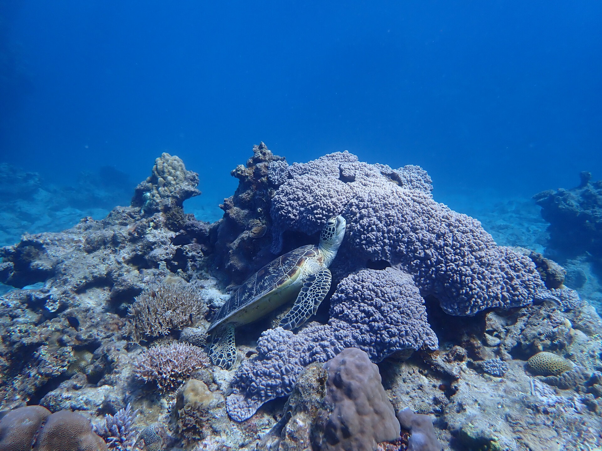
Okinawa Main Islands
Total Sites: 116
Latitude: 26.45161515
Longitude: 127.8679175
|
|
|
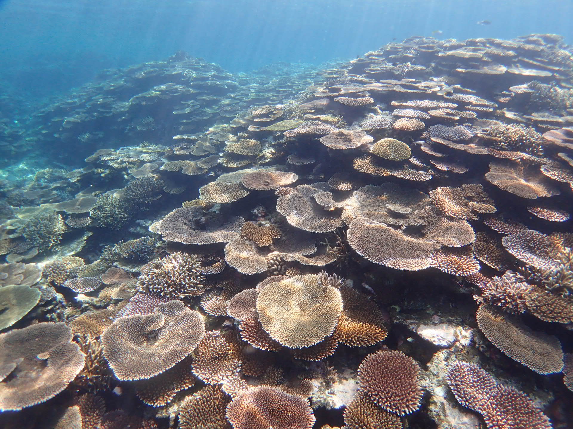
Ishigaki
Total Sites: 77
Latitude: 24.4766367
Longitude: 124.2222219
|